HIKING IN GREVENMACHER
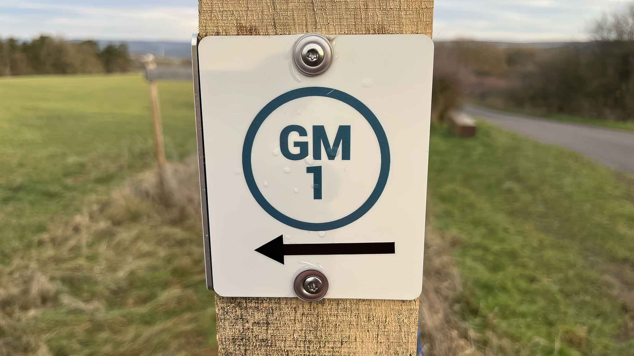
GM1 – Réimermonument – Roman Monument
Walk through vineyards and woodland to the Chapel of the Holy Cross, Moselle valley viewpoints and the Roman funerary monument.
At a glance
-
Starting point
Bus station by Machera -
Distance
12 km -
Duration
3½ hours -
Difficulty
Easy
Terrain & access
-
Ascent & descent
232 m ascent · 232 m descent -
Altitude
141–288 m -
Trail surfaces
48% asphalt · 50% natural paths · 2% unspecified -
Bus stop
Grevenmacher, Gare routière
Route description
01
Starting point
From the bus station by Machera, head to the market square.
02
Rue de Luxembourg
Follow Rue de Luxembourg towards the Kreuzerberg.
03
Chapel of the Holy Cross
Climb past the 14 Stations of the Cross to the chapel built in 1737.
04
Hougeriicht & Longkaul
Continue via Hougeriicht and Longkaul, overlooking the Moselle valley.
05
Baambësch
Cross the road to Oberdonven and enter the Baambësch woodland.
06
Roman monument
Reach the Roman funerary monument beside the former Metz–Trier Roman road.
07
Groussfooscht
Cross the N1 and continue through the Groussfooscht woodland.
08
Return to town
Return via Grueweréck, Rue de Wecker and Rue des Remparts.
Explore the trails
Your hiking map
Download the SITG hiking map to explore the walking routes around Grevenmacher.
Download PDF