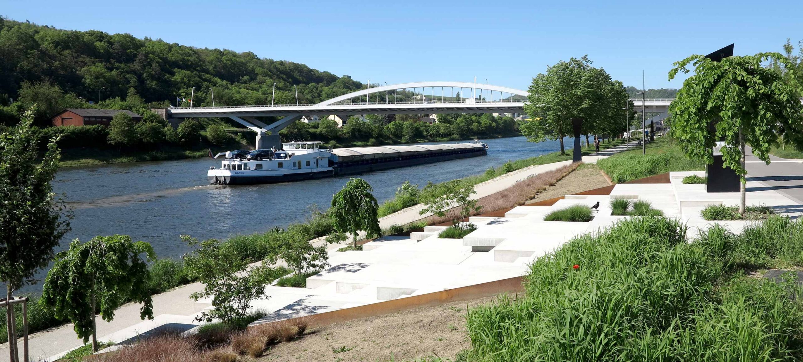
EXPLORE GREVENMACHER ON FOOT
Hiking around Grevenmacher
Discover the SITG walking trails: AP Grevenmacher, the GM1–4 circuits and the historical town walk. Explore more routes nearby, taking you through vineyards, woodland and the town’s heritage.
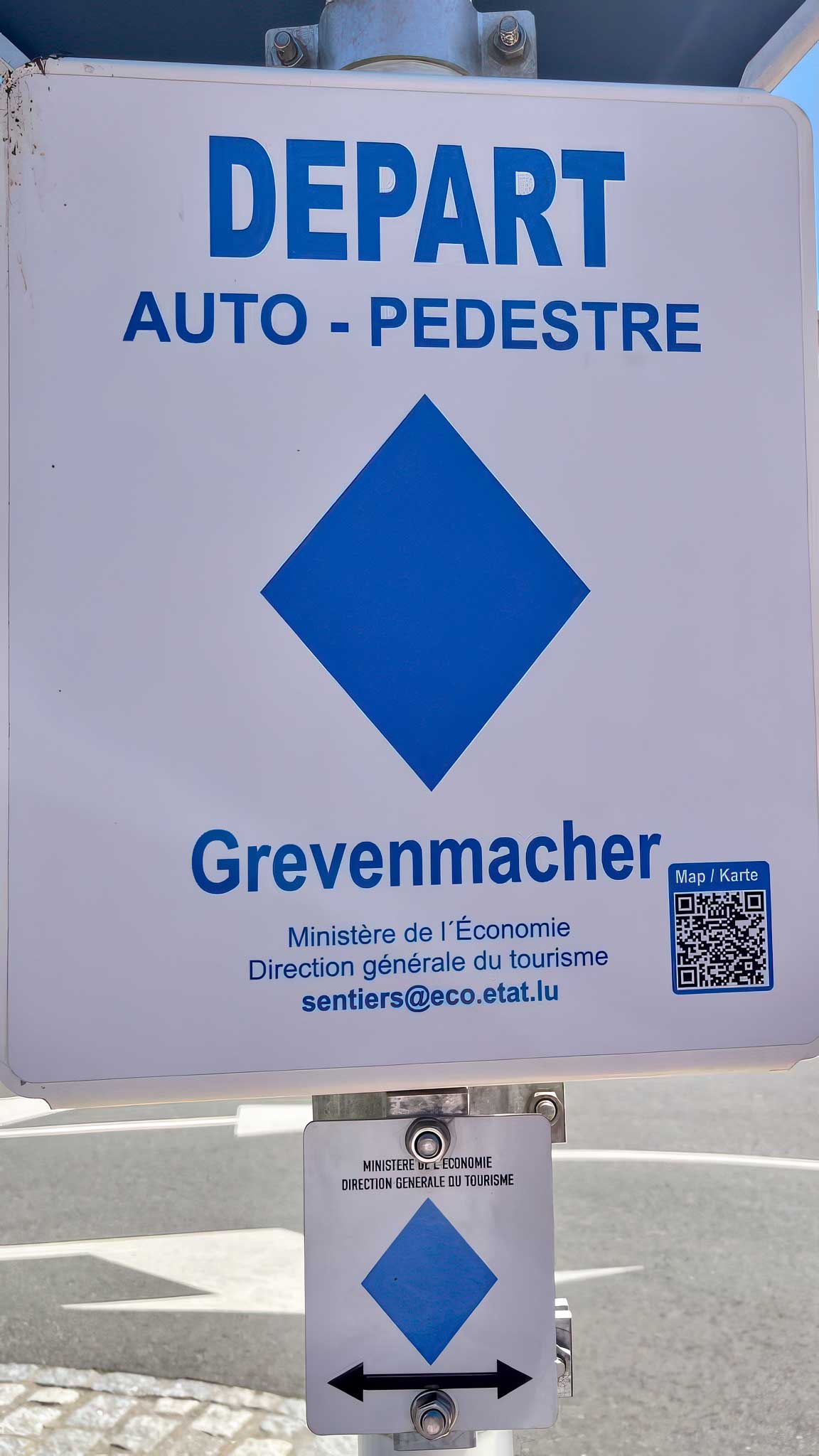
AP Grevenmacher
An 8 km circular walk through the vineyards of Grevenmacher, along the Kelsbach stream and past the Chapel of the Holy Cross. The route starts at Parking Quai Marie-Astrid.
View Hiking
GM1 – Réimermonument – Roman Monument
A 12 km circular walk from the bus station by the Machera cultural centre, via the Chapel of the Holy Cross and the Roman funerary monument.
View Hiking

GM2 Groussfooscht – HAARD
From Grevenmacher town centre, the GM2 leads to the Groussfooscht viewpoint and through the Haard woodland.
View Hiking
GM3 Groesteen
Closed for construction work until February 2027, according to the SITG. The GM3 leads from Grevenmacher through the Haard woodland to Groesteen and towards Münschecker.
View Hiking
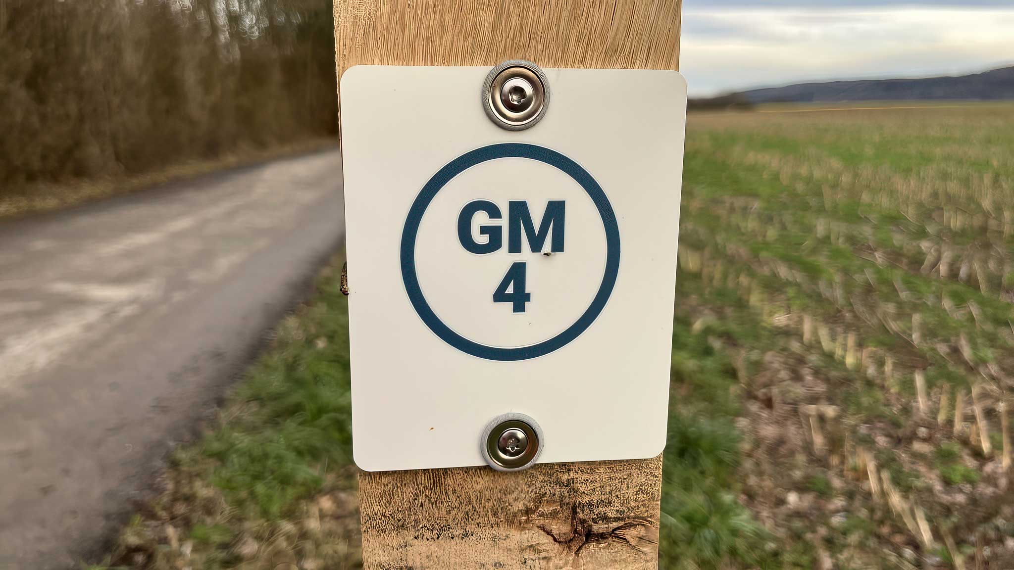
GM4 Päerdsmaart
A short walk from Grevenmacher town centre to the former horse market and the Op Flohr viewpoint.
View Hiking
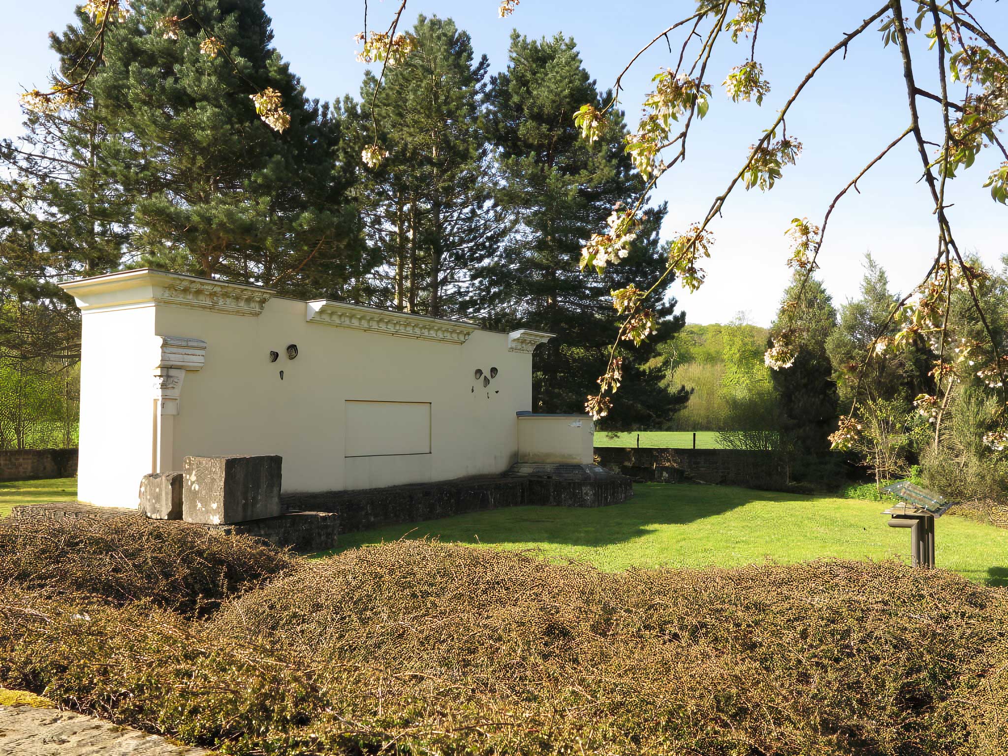
Routes of the Romans
Discover the Roman funerary monument at Grevenmacher-Potaschberg. Once at least 12 metres high, it is now partially reconstructed within a walled burial enclosure.
View Hiking
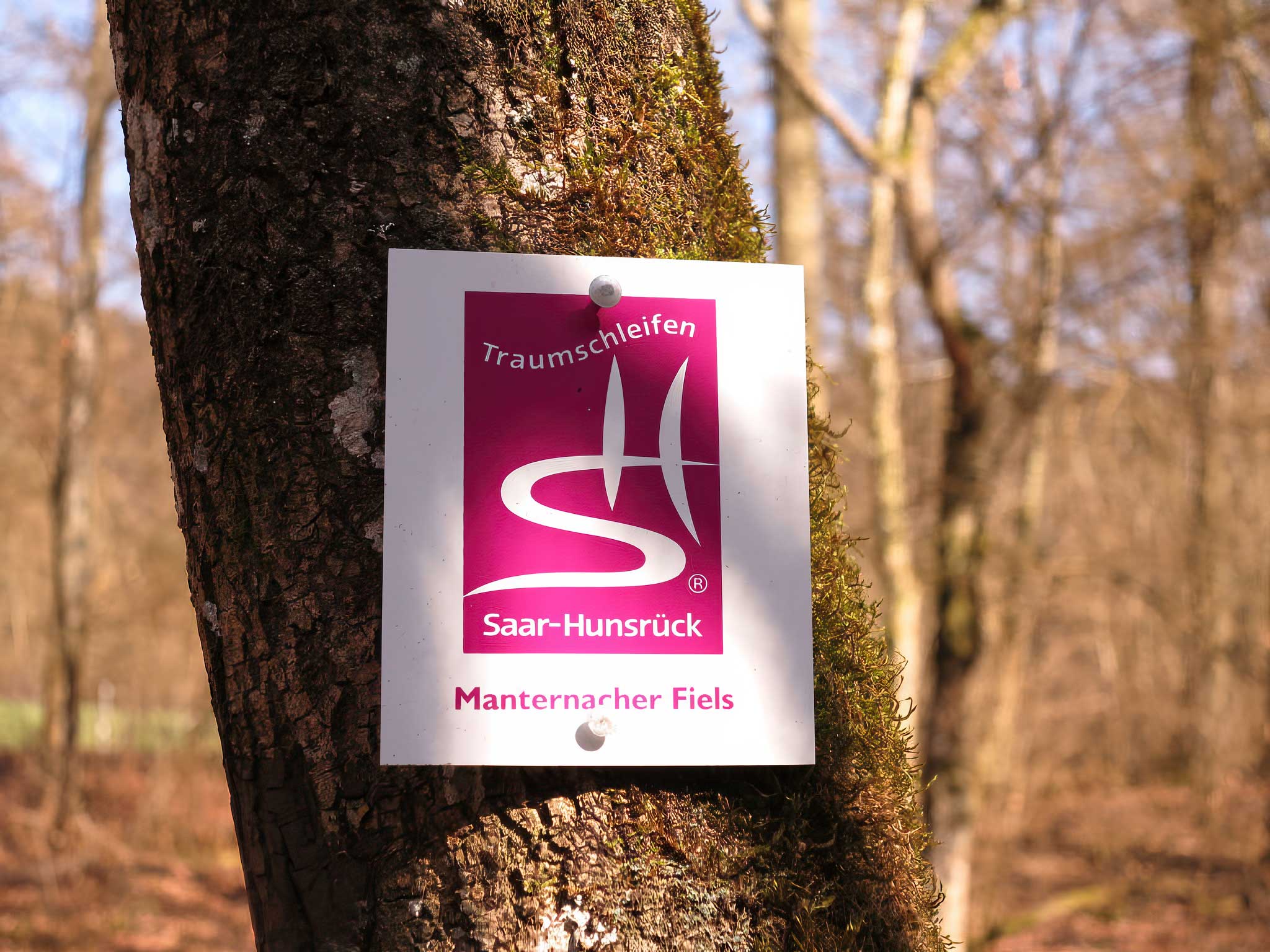
Traumschleife Saar-Hunsrück-Steig
Discover two Traumschleifen near Grevenmacher: Manternacher Fiels and the Palmberg–Ahn wine and nature trail. These two circular walks explore nature reserves, rocky landscapes and vineyards.
View Hiking
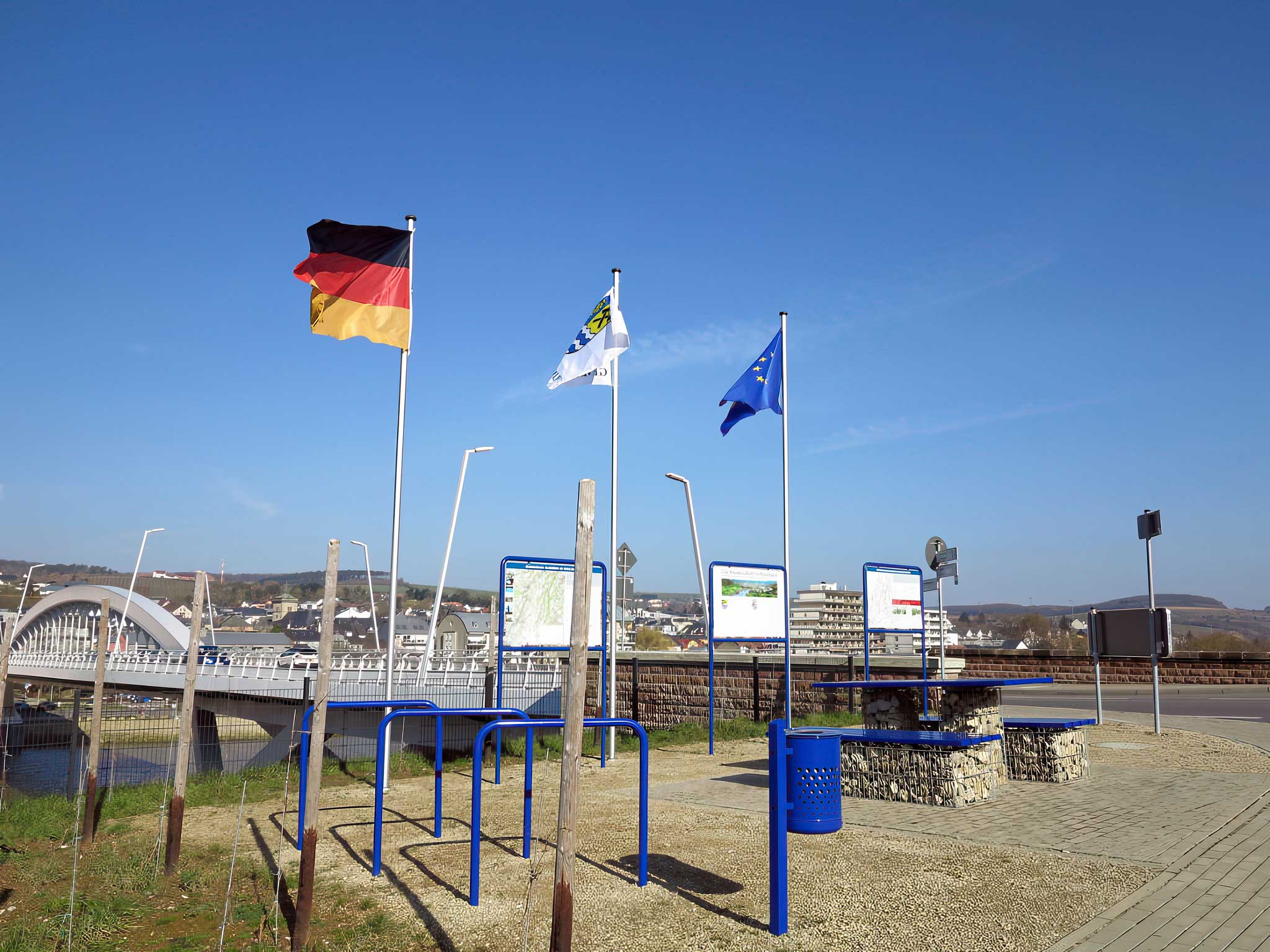
Moselsteig Schengen-Koblenz
The Moselsteig follows the Moselle between Perl and Koblenz over 365 km, divided into 24 stages. Near Grevenmacher, the SITG highlights Wellen, on the opposite bank.
View Hiking
CFL Path Manternach–Mertert
From Manternach railway station, follow the Syr Valley towards Mertert on an 11.5 km route.
View Hiking
Moselle Trail
From Wasserbillig to Schengen, the Moselle Trail links vineyards and wine-growing villages with views over the Moselle valley. The distance and elevation data refer to the full 60 km route, not only the section around Grevenmacher.
View Hiking
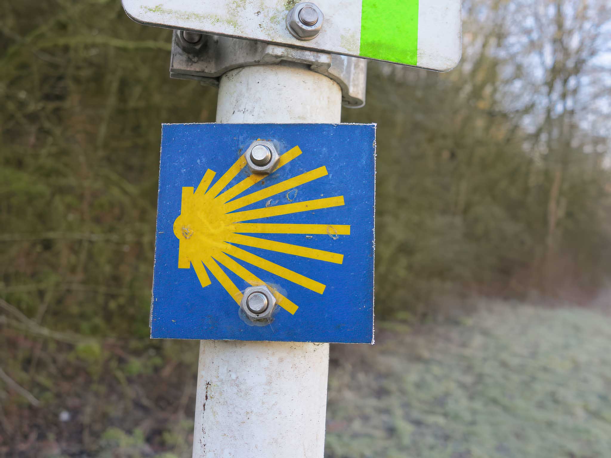
Pilgrim road of St. Jacques de Compostelle
The Way of St James crosses Luxembourg and passes through Grevenmacher on its journey south. The 176.8 km and technical data below refer to the full Luxembourg route, not the Grevenmacher section alone.
View Hiking
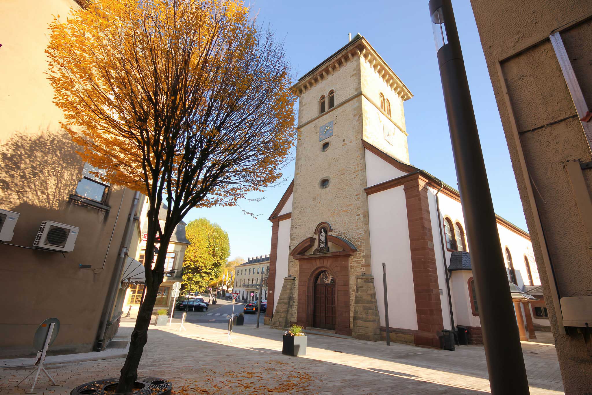
Cultural and historical walk
Explore Grevenmacher’s former fortified town through a cultural and historical walk featuring 18 stations.
View Hiking