HIKING IN GREVENMACHER
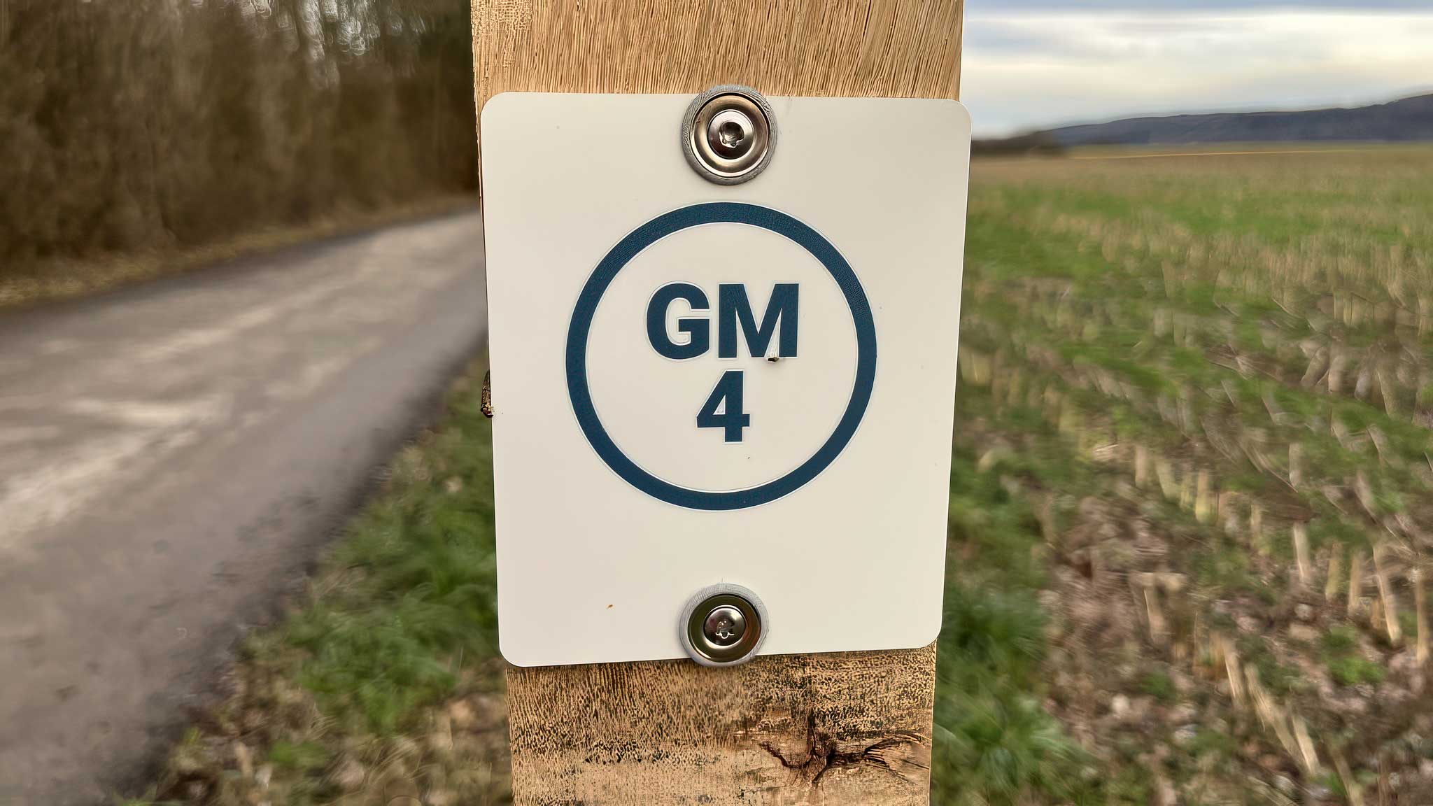
GM4 Päerdsmaart
A short walk from Grevenmacher town centre to the former horse market and the Op Flohr viewpoint.
At a glance
-
Starting point
Bus station by Machera -
Distance
4.6 km -
Duration
1½ hours -
Difficulty
Easy
Terrain & access
-
Ascent & descent
72 m ascent · 72 m descent -
Altitude
141–192 m -
Trail surfaces
100% asphalt -
Bus stop
Grevenmacher, Gare routière
Route description
01
Starting point
Start at the bus station beside the Machera cultural centre.
02
Päerdsmaart
Walk via the market square and Rue de Münschecker to the former horse market.
03
Op Flohr
Enjoy views of the fields, Leitschberg vineyards and harbour from Op Flohr.
04
Stadium
Continue past the stadium.
05
Return to town
Follow Rue de Trèves back into the town centre.
Explore the trails
Your hiking map
Download the SITG hiking map to explore the walking routes around Grevenmacher.
Download PDF