HIKING IN GREVENMACHER
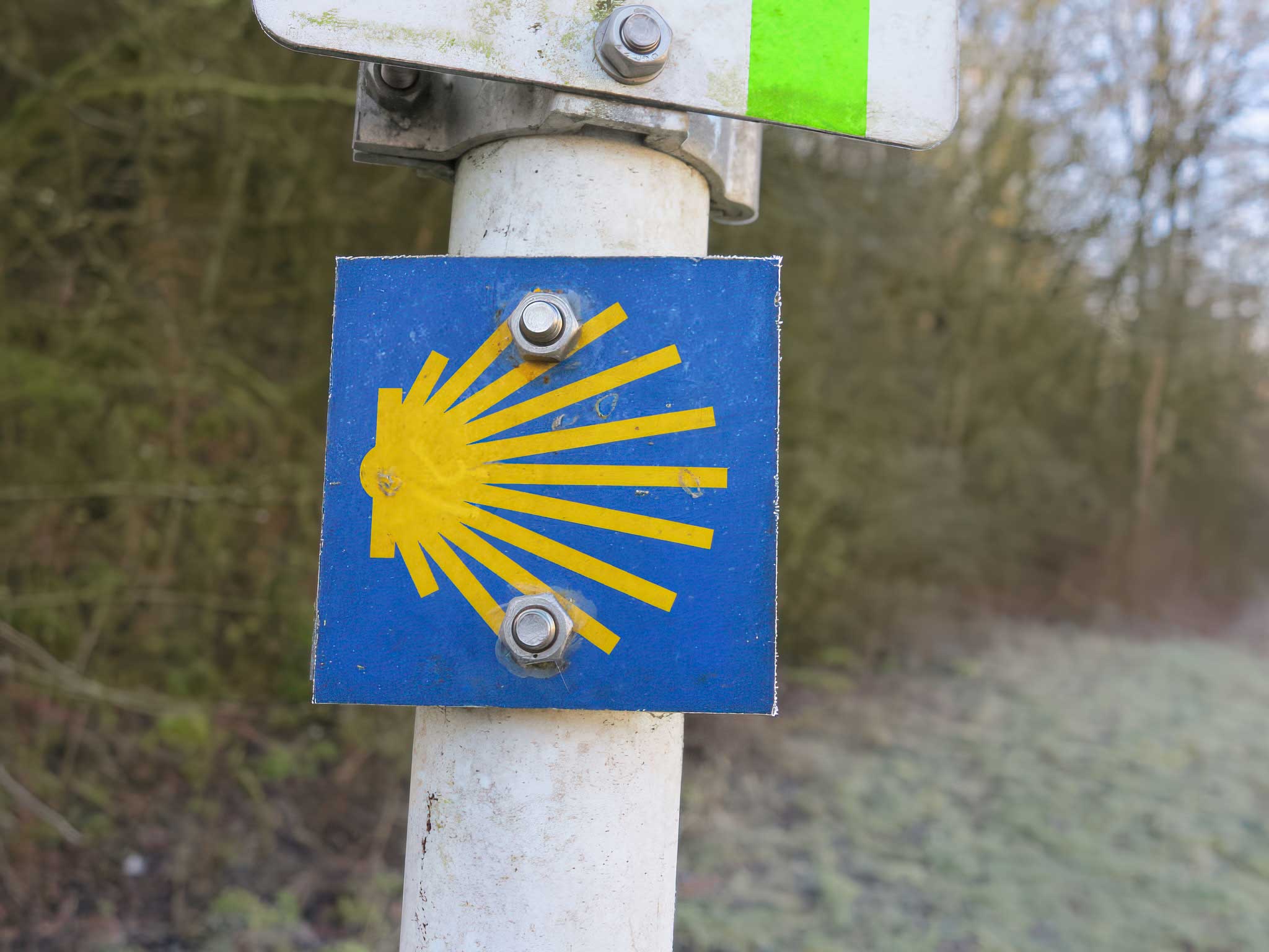
Pilgrim road of St. Jacques de Compostelle
The Way of St James crosses Luxembourg and passes through Grevenmacher on its journey south. The 176.8 km and technical data below refer to the full Luxembourg route, not the Grevenmacher section alone.
Full Luxembourg route
-
Starting area
Ouren–Lieler area -
Destination
Schengen -
Distance
176.8 km -
Difficulty
Difficult
Elevation of the full route
-
Minimum altitude
143 m -
Maximum altitude
400 m -
Total ascent
1,550 m -
Total descent
1,700 m
Route overview
Ouren & Lieler
The route begins in the tri-border area near Ouren and Lieler.
Vianden
Follow the Our valley towards Vianden.
Echternach
The route continues via Echternach.
Grevenmacher
Grevenmacher is one of the towns along the Luxembourg route.
Towards Schengen
Continue via Luxembourg City and Dudelange to Schengen.
Explore with Geoportail
Your route on the map
View the Way of St. James on Geoportail’s interactive map to locate the route and explore the surrounding area.
Open map