HIKING IN GREVENMACHER
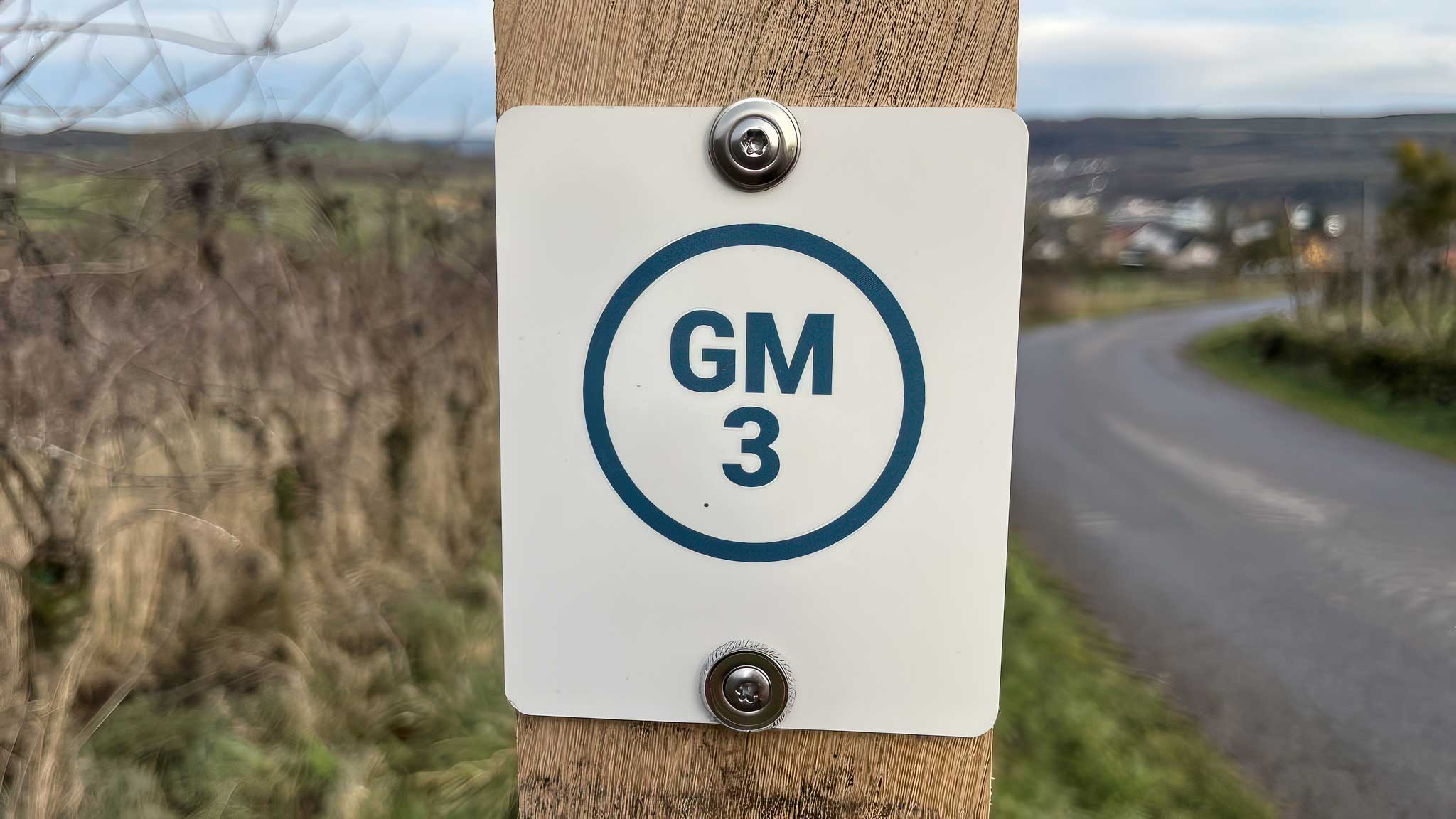
GM3 Groesteen
Closed for construction work until February 2027, according to the SITG.
The GM3 leads from Grevenmacher through the Haard woodland to Groesteen and towards Münschecker.
At a glance
-
Starting point
Bus station by Machera -
Distance
8.4 km -
Duration
2½ hours -
Difficulty
Easy
Terrain & access
-
Ascent & descent
201 m ascent · 201 m descent -
Altitude
141–289 m -
Trail surfaces
78% asphalt · 20% natural paths · 2% unspecified -
Bus stop
Grevenmacher, Gare routière
Route description
01
Starting point
Start at the bus station beside the Machera cultural centre.
02
Historic centre
Walk via the market square, Rue des Remparts and Rue Hiel.
03
Haard & Groesteen
Cross the A1 and continue through the Haard woodland to Groesteen.
04
Münschecker
Continue towards Münschecker, passing fields and meadows.
05
Temporary closure
The trail is closed due to bridge works on the CR137, with reopening expected in early 2027, subject to confirmation.
06
Return to town
Follow Rue de Münschecker, Rue des Caves and Rue de Trèves back into town.
Explore the trails
Your hiking map
Download the SITG hiking map to explore the walking routes around Grevenmacher.
Download PDF