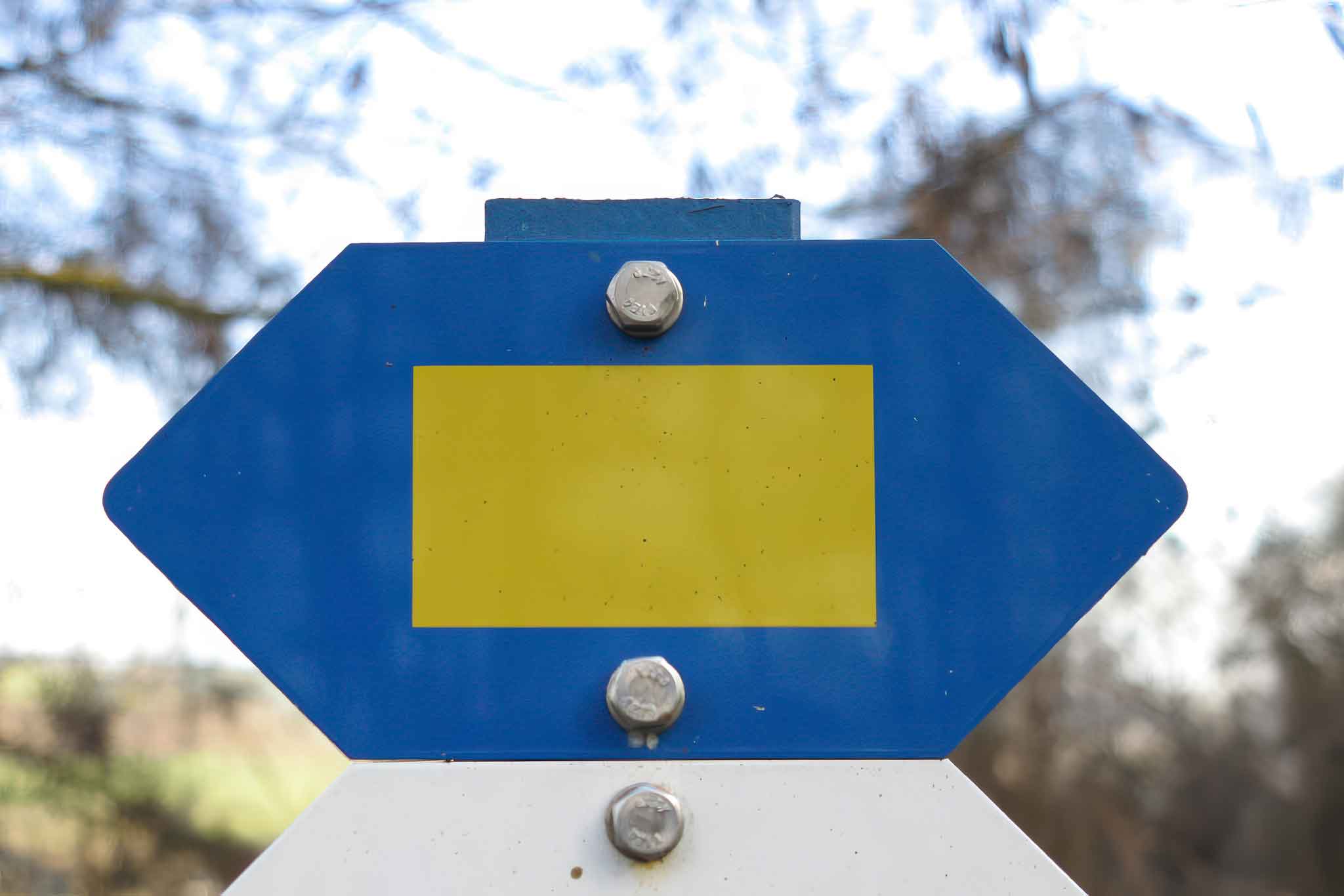
HIKING IN GREVENMACHER
Moselle Trail
From Wasserbillig to Schengen, the Moselle Trail links vineyards and wine-growing villages with views over the Moselle valley. The distance and elevation data refer to the full 60 km route, not only the section around Grevenmacher.
The route
-
Departure
Wasserbillig -
Arrival
Schengen -
Length
60 km — full route
Highlights
-
Vineyards
Moselle wine-growing landscapes -
Villages
Wine-growing villages -
Views
Views over the Moselle Valley
Route overview
Wasserbillig
The trail starts on Rue des Ponts in Wasserbillig.
Vineyards
Discover Luxembourg’s wine-growing landscape along the Moselle.
Wine-growing villages
The route links wine-growing villages along the river.
Moselle valley
Enjoy views over the Moselle valley along the route.
Schengen
The full 60 km trail finishes in Schengen.
Explore the trails
Your hiking map
Download the SITG hiking map covering Grevenmacher and the surrounding area.
Download PDF